
Menu

Intelligent Monitoring Solution for Agricultural Crops by UAVs

Author: Release time: 2026-06-22 10:10:29 View number: 500

I. Background and Industry Pain Points

In traditional crop monitoring, growers and farm managers have long faced numerous bottlenecks that are difficult to overcome. Traditional manual field inspections are not only time-consuming and labor-intensive, with limited detection capabilities, but are also highly susceptible to subjective experience, resulting in inaccurate and inconsistent data. More critically, there is often a severe delay between problem identification and intervention response, causing farmers to miss the optimal window for pest and disease control. This ultimately leads to the overuse of pesticides and fertilizers and a sharp increase in overall operational costs. To break through this dilemma, introducing an intelligent UAV (drone) low-altitude monitoring system has become an inevitable choice for the transformation and upgrading of modern agriculture.

II. Core Solutions and Advantages

Relying on advanced UAV platforms, multi-modal sensors (visible light, multispectral, hyperspectral, etc.), edge computing, and AI algorithms, this solution builds a full-chain intelligent closed loop of "data collection - analysis - decision-making," comprehensively reshaping the crop monitoring model.
1. Fast and Accurate Monitoring: Breaking Human Eye Limitations, Seeing the Unseen
  • Efficient Coverage and Early Warning: UAVs can rapidly cover large areas of farmland with extreme efficiency, easily covering hundreds to thousands of acres in a single operation. Equipped with high-precision sensors, they can capture subtle changes in crops beyond the visible light spectrum, accurately identifying and generating early warnings for signs of pests, diseases, nutrient deficiencies, or water stress before they become visible to the naked eye.
  • Multi-dimensional Data and AI Analysis: The system automatically generates high-resolution orthophoto maps and crop growth thematic maps. Combined with AI intelligent analysis, it precisely identifies core indicators such as coverage rate, lodging area, and disease severity. The data collection error rate can be controlled at an extremely low level, completely solving the blind spots and inefficiencies of traditional manual inspections.
2. Ultimate Cost Efficiency: Liberating Labor and Optimizing Resource Allocation
  • Fully Unmanned Operations: Supporting one-click takeoff and automatic flight routing, the entire process from task execution to result presentation requires no manual intervention. This not only significantly reduces the high-intensity labor costs of manual field inspections but also avoids crop damage caused by traditional machinery entering the fields and overcomes the poor passability in paddy fields.
  • Significant Cost Reduction and Efficiency Increase: By precisely locating problem areas, the system guides subsequent variable-rate fertilization and precision pesticide application, achieving the goal of "supplementing nutrients only as needed, with zero waste." Practice shows that this solution can significantly reduce the use of pesticides and fertilizers, greatly minimizing resource waste and thereby lowering the overall operational costs of agricultural production.
3. Real-time Data and Insights: Field-level Closed Loop, Driving Precision Decision-making
  • Instant Data and Edge Computing: To address the challenge of poor network coverage in remote farmlands, the system introduces a "sensing-storage-computing integration" mechanism and edge computing units. The UAV can complete real-time image processing and agricultural condition recognition locally during flight, without waiting to return to base and upload data to the cloud. This shortens the response time for interventions from the traditional "day-level" to "hour-level."
  • Data-driven Intervention Directives: The acquired spectral information is processed by AI algorithms to generate digital models and "prescription maps," intuitively displaying differences in soil fertility and crop growth across plots (e.g., red indicates weak fertility, while blue indicates sufficient fertility). Managers can quickly adjust field management plans based on these instant and accurate insights, and even directly dispatch operation prescriptions to plant-protection UAVs or smart agricultural machinery, realizing a complete field-level closed-loop control of "monitoring - decision-making - operation."

Related Products
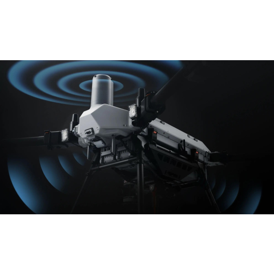
Multi-functional heavy-duty multi-rotor agricultural unmanned aerial vehicle for transportation and sowing Multi-functional heavy-duty multi-rotor agricultural unmanned aerial vehicle for transportation and sowing
Multi-functional heavy-duty multi-rotor agricultural unmanned aerial vehicle for transportation and sowing
$18,600.00
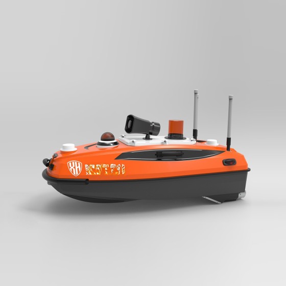
Unmanned robot boat for water detection Unmanned robot boat for water detection
Unmanned robot boat for water detection
$15,000.00
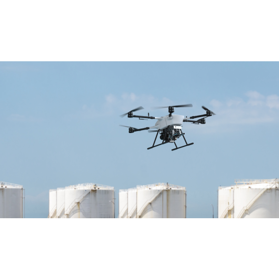
HC-342H Hybrid unmanned aerial vehicle HC-342H Hybrid unmanned aerial vehicle
HC-342H Hybrid unmanned aerial vehicle
$37,500.00
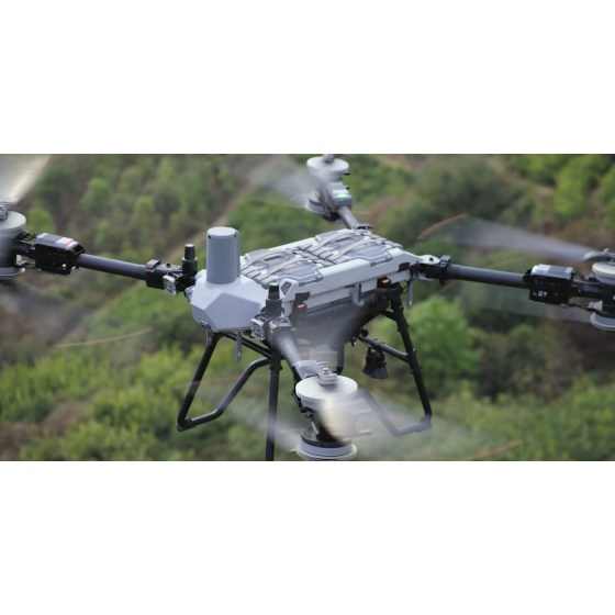
Dji T200 agricultural unmanned aircraft Dji T200 agricultural unmanned aircraft
Dji T200 agricultural unmanned aircraft
$22,500.00
Nginx server needs to configure pseudo-static rules, click View configuration method