I. Background and Analysis of Traditional Pain Points
Forests are the core of the Earth's ecosystem. However, vast forest areas with complex environments and rugged terrains pose severe challenges to traditional manual patrolling models:
- Low Patrol Efficiency: Forest areas are extensive and often lack convenient transportation. The traditional method of "measuring by foot" is highly labor-intensive and time-consuming, making it difficult to achieve comprehensive coverage.
- Limited Visibility and Blind Spots: Dense canopies and complex topography severely restrict ground-level observation. Steep slopes and deep valleys are particularly prone to becoming regulatory blind spots.
- Insufficient Fire Monitoring: Traditional methods struggle to provide 24/7, high-frequency monitoring. During the initial stages of a fire, thick smoke or delayed detection often results in missing the golden window for firefighting.
- Lagging Forest Health Monitoring: Health issues such as pest infestations or tree withering are difficult to detect in their early stages through the naked eye. They are often discovered only after large-scale outbreaks, causing irreversible ecological damage.
II. Core Advantages of the UAV Solution
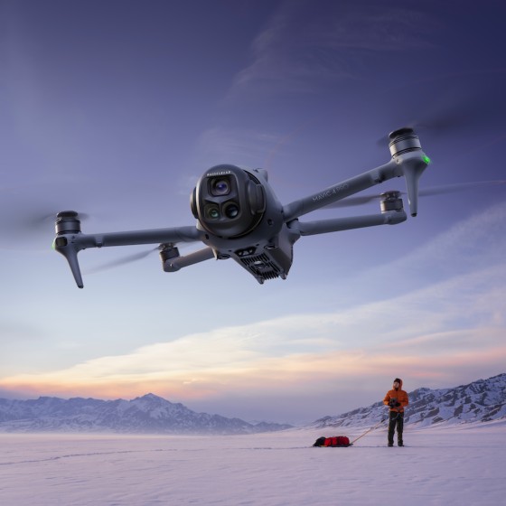
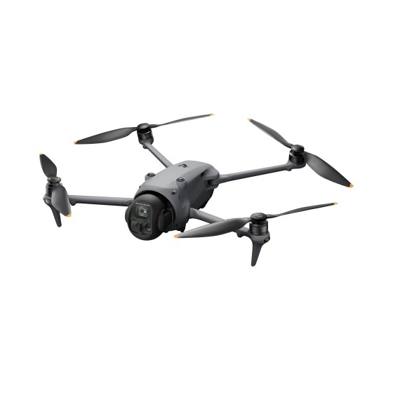
To address these pain points, introducing a UAV forest patrol system acts as an "aerial eagle eye," enabling a leap from "human-centric defense" to "tech-driven and smart defense":
-
Enhanced Patrol Efficiency for Comprehensive Coverage
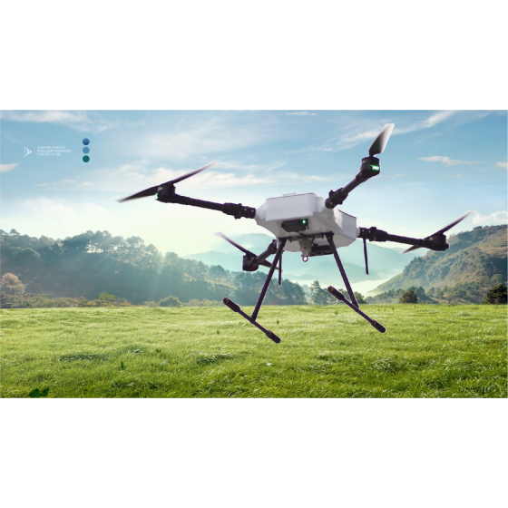
UAVs are highly portable and maneuverable, easily navigating through dense jungles and rugged terrains. By flying autonomously along pre-set routes, drones can complete several times the workload of manual patrols in a fraction of the time. This effectively eliminates blind spots in hazardous areas and significantly boosts the effective patrol coverage and overall efficiency.
-
Advanced Forest Health Monitoring for Precise Pest & Disease Early Warning
Equipped with advanced sensors such as multispectral cameras and LiDAR, UAVs can capture multi-dimensional forest data. Through aerial perspectives and spectral analysis, drones can identify subtle changes like yellowing needles or water stress in trees in advance, detecting pest infestations (e.g., pine wood nematode) or disease outbreaks early. This not only enables precise forest health assessments but also provides reliable data support for scientific afforestation and ecological restoration.
-
Improved Fire Monitoring and Response to Build a 3D Defense Line
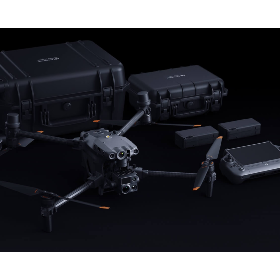
UAVs equipped with dual-spectrum cameras (high-definition visible light and infrared thermal imaging) possess strong penetration capabilities and night vision.
- Real-time Monitoring & Smart Recognition: Integrated with AI algorithms, the system can automatically identify smoke and fire hotspots, achieving second-level early warnings.
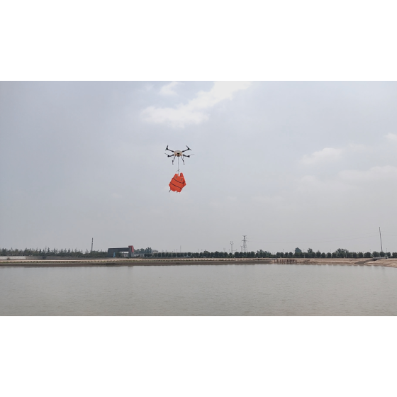
- Rapid Response & Command: Upon detecting a fire, the UAV can quickly approach for reconnaissance, transmitting real-time comprehensive views and 3D terrain data of the fire scene. It can even carry fire-extinguishing bombs for initial suppression, providing critical decision-making support for the command center to formulate firefighting plans.
III. Systematic Workflow and Closed-Loop Management
This solution is more than just hardware; it establishes a digital closed-loop of "Auto-reporting → Smart Dispatching → Rapid Handling → Verification & Closure":
- Smart Planning & Autonomous Cruising: Relying on drone-in-a-box (automated docking stations), the system automatically plans optimal routes based on forest topography, enabling 24/7 unattended, high-frequency routine patrols.
- Air-Ground Coordination & Precise Task Dispatch: When the AI detects illegal fire use, unauthorized logging, or fire hazards, it automatically marks the precise coordinates and dispatches a task to the mobile device of the nearest forest ranger within 10 minutes.
- Law Enforcement Evidence Collection & Rectification Supervision: UAVs can capture high-resolution photos and videos as evidence of forest resource destruction. Post-incident, rangers can also use UAVs for re-inspections to ensure that rectifications are fully implemented.
IV. Application Value of the Solution
- Cost Reduction & Efficiency Boost: Significantly reduces manual inspection frequency and labor costs. A single flight can cover thousands of acres, transforming forest protection from "exhausting ground patrols" to "smart cloud management."
- Safety Assurance: Replaces human entry into hazardous areas (such as steep slopes or fire perimeters), effectively ensuring the safety of frontline patrol personnel.
- Data-Driven Decision Making: Accumulates massive amounts of forest imagery and ecological data to form traceable and analyzable digital ledgers, injecting technological momentum into the long-term protection and high-quality development of forest resources.
-